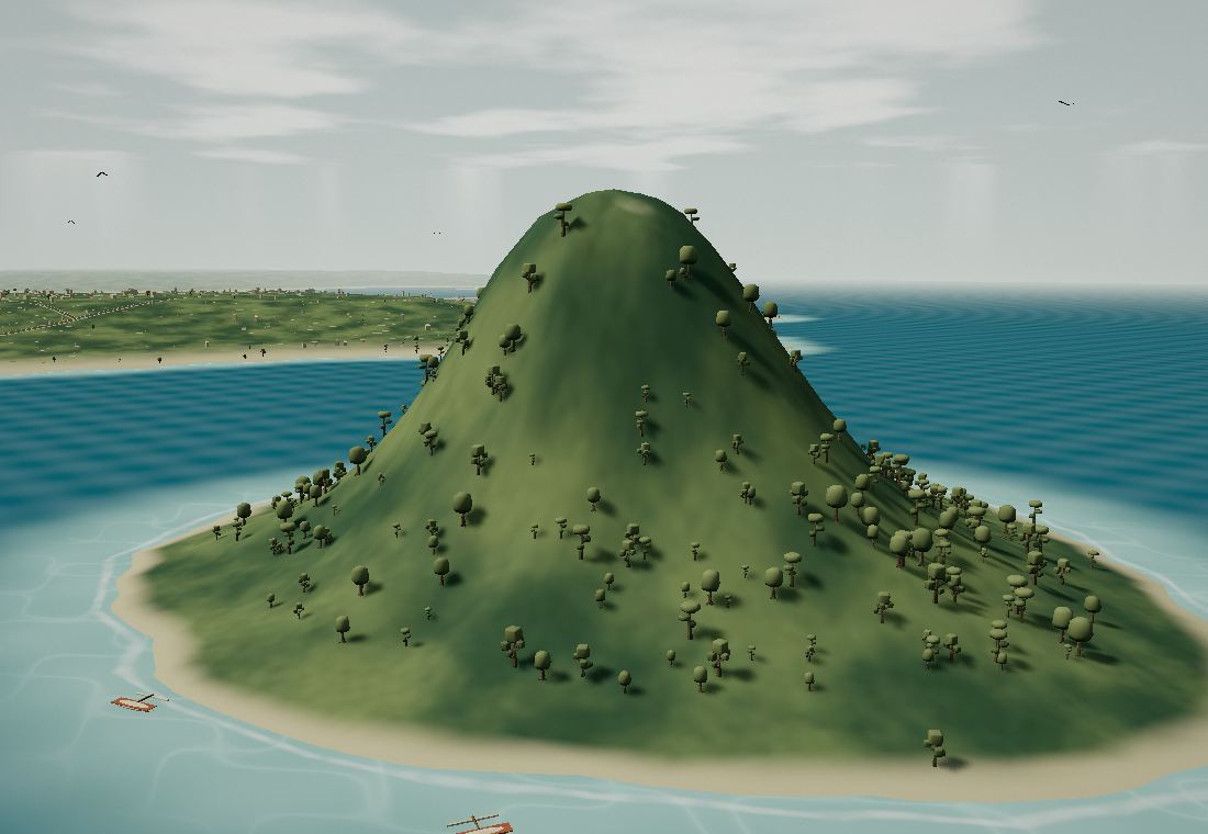
Nosy Lonjo
A sacred island in the heart of the bay. Dreamlike lagoons, hidden forests and rocks shaped by time. Welcome to the far north of Madagascar.
Nosy Lonjo is sacred: admire it from the bay.
- Access
- From the shore
- Allow
- Take in the view
DIEGO-SUAREZ · MADAGASCAR
A visual journey through eleven landscapes of Diego-Suarez and northern Madagascar. Scroll to explore islands, forests and tsingy.
Start the immersive tour ↗A sacred island in the heart of the bay. Dreamlike lagoons, hidden forests and rocks shaped by time. Welcome to the far north of Madagascar.
Nosy Lonjo is sacred: admire it from the bay.
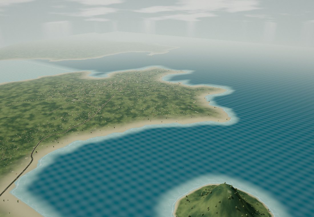
Diego Bay forms a series of coves around Antsiranana. The town stands on a headland to the west, Nosy Lonjo rises farther south and the ridges of Montagne des Français face them across the water. The road to Ramena follows the shore between these landscapes.
The road to Ramena connects the town and beaches along part of the bay.
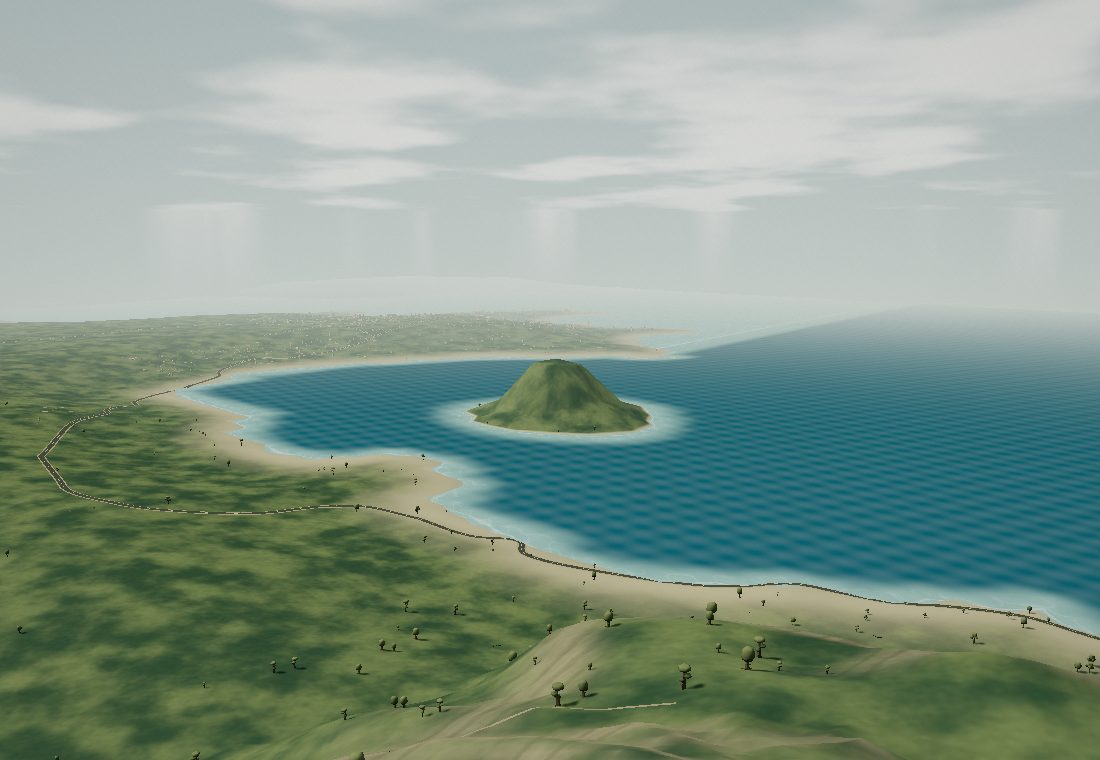
The trail winds through dry woodland and baobabs before reaching the remains of Anosiravo. At the summit, the bay opens out toward the Indian Ocean.
Set off early with water and a local guide.
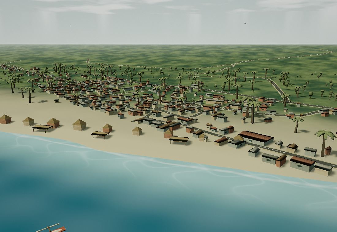
Ramena is a fishing village beside a long beach. Lanes lead to the sand between houses, small restaurants and trees. Come for a swim, a walk by the water or lunch in the shade, while pirogues come and go across the bay.
A starting point for boat trips to the Emerald Sea.
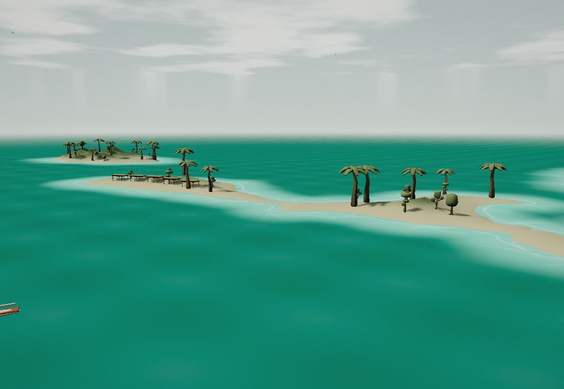
Beyond the channel, the sandy seabed gives the lagoon its shades of emerald. On Nosy Suarez, pale sand borders a low, leafy islet. After the crossing, swim, snorkel and take a break beneath the beach shelters.
Arrange the crossing with a local crew according to the weather.
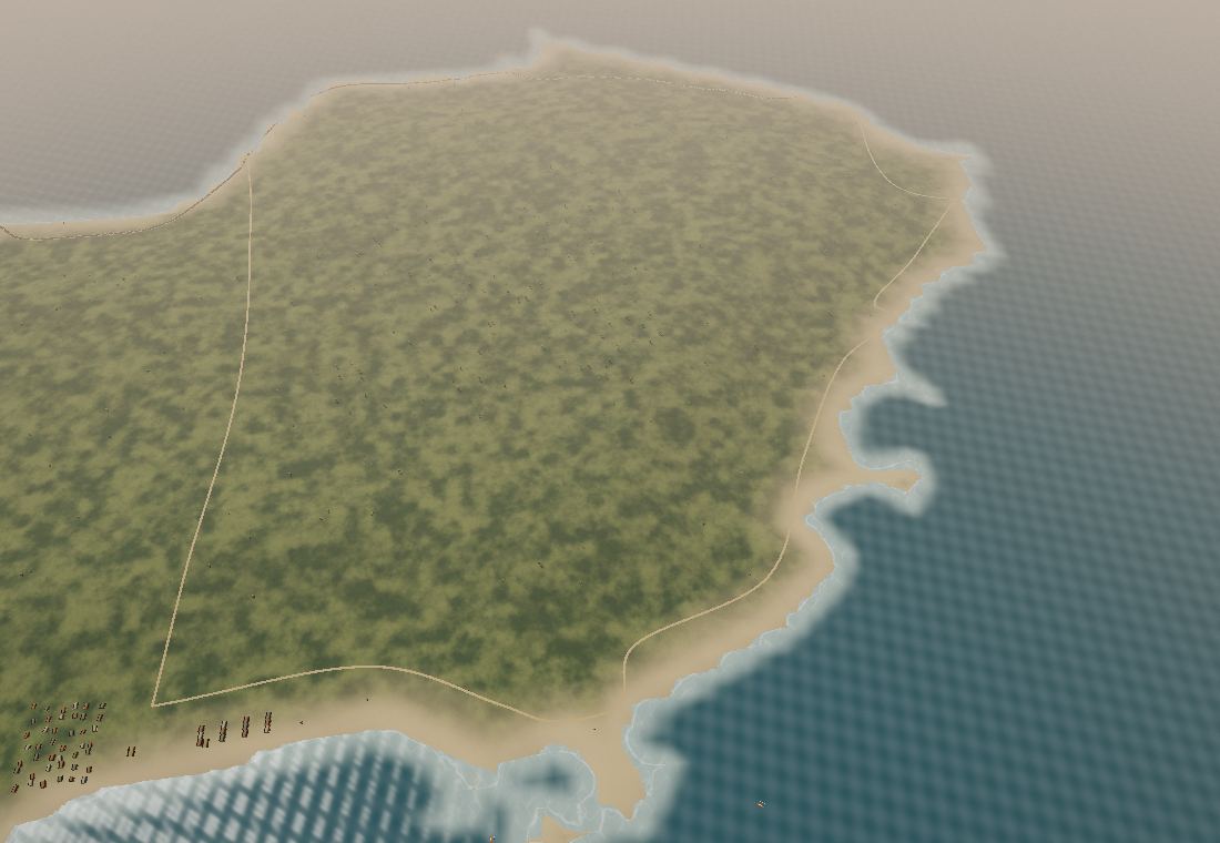
From Sakalava to Dunes via Pigeons, the coast alternates pale sand, rocks and blue water. Choose a coastal walk or an outing with a local guide.
A broad bay facing the Indian Ocean. The village and small hotels sit along the beach among dunes and trees. On the lagoon, colourful kites trace paths back and forth with the wind.
Between two rocky headlands, Pigeons Bay offers a pause along the coast. The sandy track follows the terrain and beaches.
Pale sand forms the last cove on the circuit. Continuing toward Orangea, you reach the remains of former military installations and the Cap Miné lighthouse, which marks the entrance to Diego Bay.
The route also reaches Orangea and the Cap Miné lighthouse, reminders of the channel’s maritime and military history.
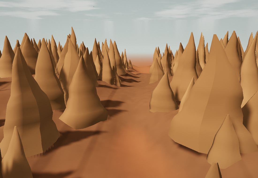
Water and erosion have shaped these slender earth pinnacles. At the bottom of the canyon, the colours shift from pale pink to deep red.
Stay on permitted paths: these formations are fragile.
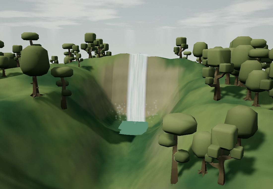
Near Joffreville, the rainforest changes the mood of the journey. Walk among ferns, look for chameleons and follow your guide toward the waterfalls.
A park guide helps you spot the less obvious wildlife.
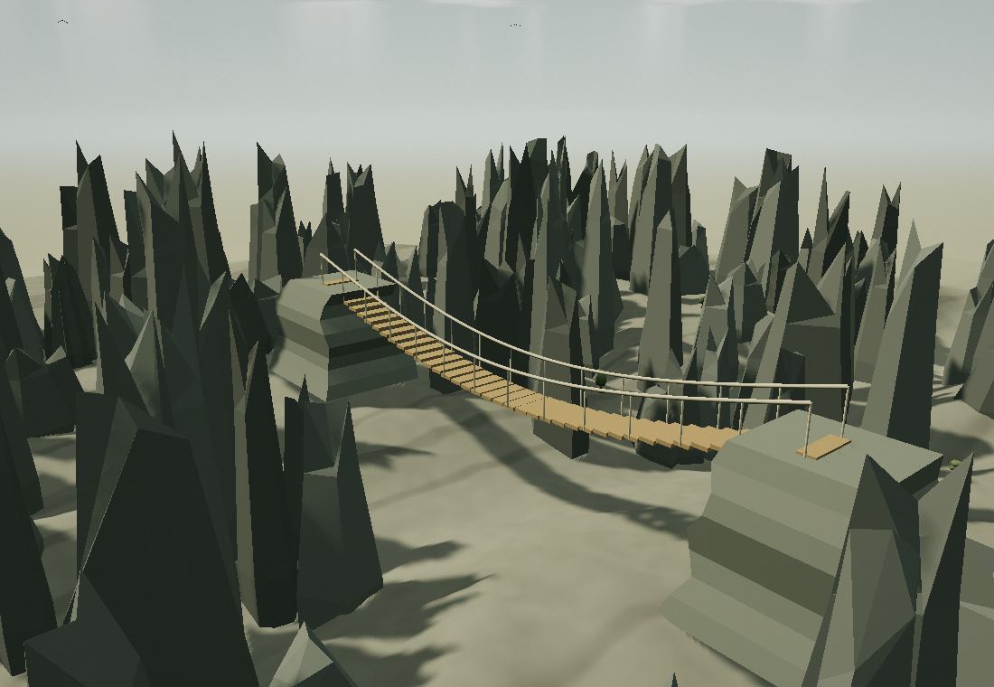
Farther south, grey tsingy rise above dry woodland. Trails through the reserve reveal canyons, caves and a remarkable world of stone.
Choose a route with a guide, according to the season and your pace.
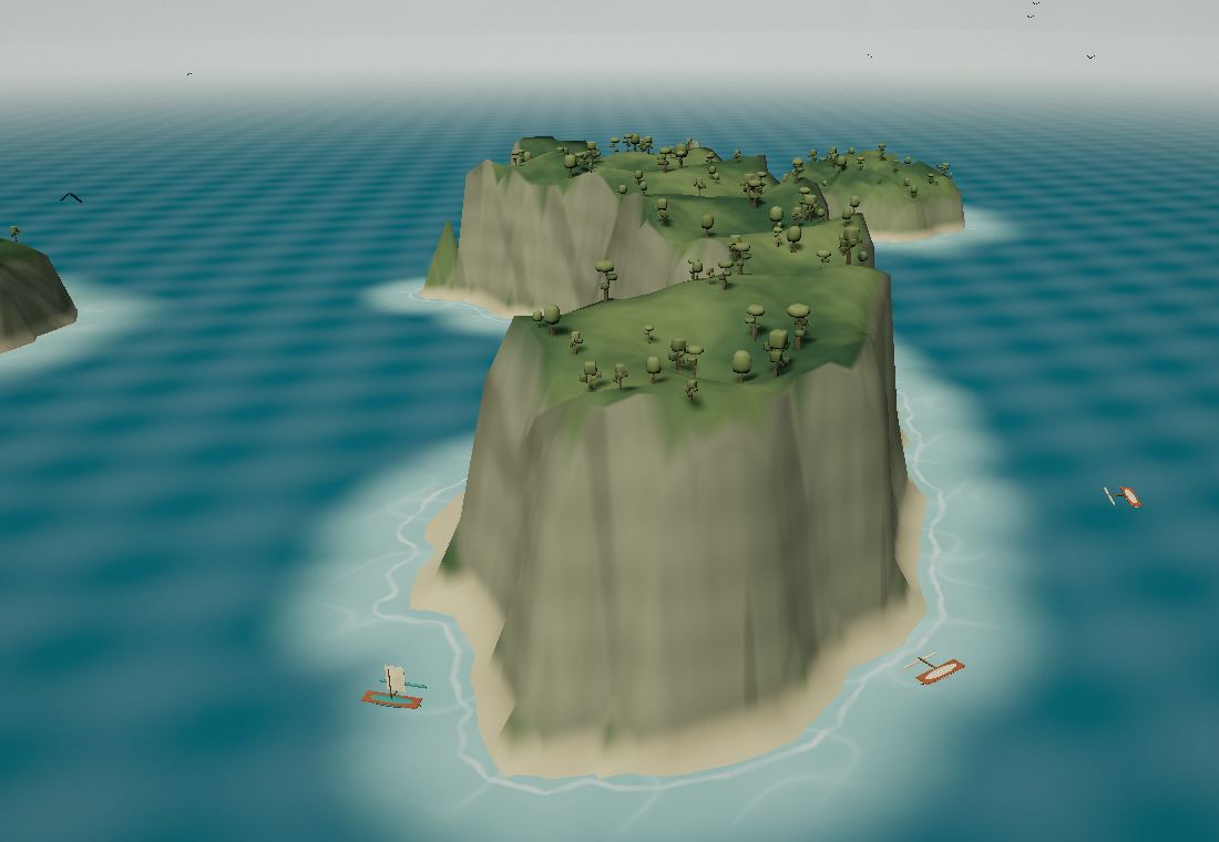
Limestone islets rise from the sea, surrounded by reefs and small beaches. Discover another side of the North with an operator who knows the park.
Arrange access and navigation with a local guide or operator.
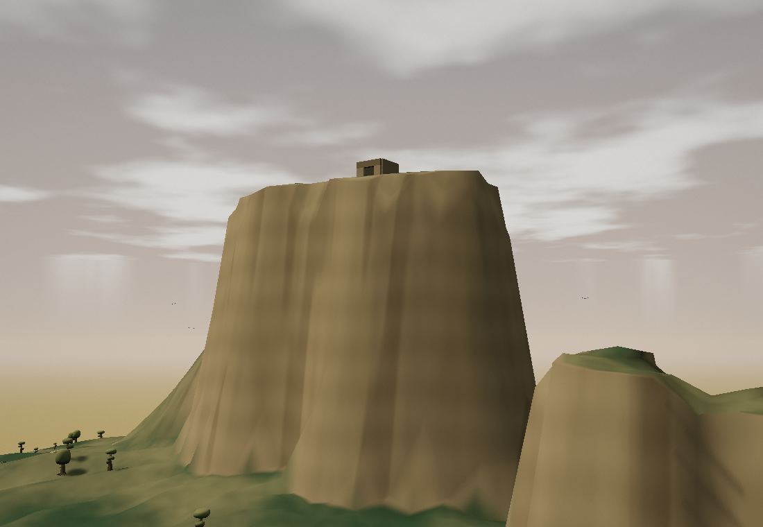
Windsor Castle is a limestone escarpment whose outline resembles a fortress. An old military observation post still stands at the summit. Built in the early twentieth century, it watched over both coasts. The trail and stone steps reach a viewpoint between Diego Bay and the Mozambique Channel. Rock, savanna and historic remains tell their story here.
The name refers to the shape of the rock. The small building on top is the former observation post.